Bridging the gap between modeling and monitoring
The new Bay TMDL Indicator refines how water quality in the Chesapeake watershed is measured
When it comes to estimating the health of Chesapeake waters, experts at the Chesapeake Bay Program use both sophisticated modeling systems and robust monitoring networks to collect data and calculate findings.
While the Chesapeake Bay Program has several different types of models to replicate everything from land use changes to the amount of nitrogen deposited over the land from the air, it is the Watershed Model—the Chesapeake Assessment Scenario Tool (CAST)—that estimates the amount of nitrogen, phosphorus and sediment that is reaching the Bay from around the watershed. CAST estimates the amount of pollution that can be reduced by installing certain types of best management practices (BMPs).
CAST is updated every few years with new data, including the most up-to-date monitoring information. This helps to calibrate, or readjust, the model, as monitoring data shows what is actually happening on the land and in the Bay’s tributaries. However, both modeling and monitoring are not foolproof when it comes to predicting the quality of the Bay’s water. For example, the model can over or underestimate how effective a BMP may be at reducing pollution, while monitoring stations are not available in every area across the watershed. Even more perplexing, how do our experts account for increasing climate impacts, such as heavy rains, higher temperatures and flooding? Or the quickly-filling-to-capacity reservoir behind the Conowingo Dam on the Susquehanna River?
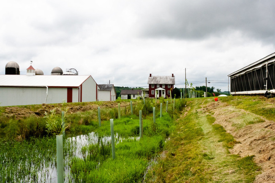
And don’t forget about “lag time.” For example, a farmer may create what is referred to as nutrient management plan. This helps them to apply fertilizer more effectively to their fields in the right place, at the right time, using the right source and right rate. However, it may take some time—often years—for the nutrient reductions from these changes to show up in our monitoring.
The Chesapeake Bay Program has now developed a brand-new indicator—the Chesapeake Bay Total Maximum Daily Load (Bay TMDL) Indicator—that combines both monitoring and modeling data to estimate how reductions in nitrogen and phosphorus pollution have responded to installed BMPs and other watershed changes, while accounting for climate change impacts, lag time and the reservoir of the Conowingo Dam reaching trapping capacity, among other factors.
Overall, this new indicator seeks to answer:
- What pollution reductions are we seeing in our monitoring data?
- What pollution reductions do we expect to see from our past actions (e.g., installing a BMP) but haven’t shown up in our monitoring data yet due to lag times?
- What pollution reductions do we see in the Watershed Model, but are not observed in our monitoring data?
- What pollution reductions can we expect to see from our planned future actions (i.e., strategies laid out in Watershed Implementation Plans (WIPs))?
- What pollution reductions are necessary for water quality, but not yet accounted for in the WIPs?
To meet Bay TMDL goals by 2025, 145.07 million pounds of nitrogen and 9.31 million pounds of phosphorus must be reduced across the entire watershed each year, a figure which includes reductions that account for additional pollution entering the Chesapeake Bay from the Conowingo Dam reservoir and from climate change impacts.
The Bay TMDL Indicator shows that installed BMPs across the watershed are reducing nitrogen pollution by 77.64 million pounds per year. When more implemented conservation practices move past their lag times and show up in future monitoring data, an additional 13.92 million pounds of nitrogen pollution per year is expected to be reduced.
In 2021, installed conservation practices across the watershed were found to be reducing phosphorus pollution by 2.95 million pounds per year. When more implemented conservation practices move past their lag times and show up in future monitoring data, an additional 1.85 million pounds of phosphorus per year is expected to be reduced. It should be noted, however, that the Bay TMDL Indicator shows that phosphorus reductions from BMPs are falling short of what they were anticipated to decrease, even after accounting for lag times.
Overall, the Bay TMDL Indicator is showing that the reduction of nitrogen and phosphorus pollution is moving in the right direction. Going forward, the Bay TMDL Indicator will be calculated on an annual basis to help determine how the entire watershed is doing in meeting our water quality goals.
Want more information on the Bay TMDL Indicator? Check out the Bay Program’s Bay TMDL Indicator webinar, the paper that started it all—Integrating monitoring and modeling information to develop an indicator of watershed progress toward nutrient reduction goals—and the most up-to-date charts, graphs and data on Chesapeake Progress.
Comments
There are no comments.
Thank you!
Your comment has been received. Before it can be published, the comment will be reviewed by our team to ensure it adheres with our rules of engagement.
Back to recent stories