Report explores variations in water quality among small watersheds
Three-year USGS study monitored four regions in Maryland, Pennsylvania and Virginia

A new report from the U.S. Geological Survey (USGS) explores variations in water quality in four small watersheds in Maryland, Pennsylvania and Virginia. Results of the study will aid in efforts to understand how pollution-reducing practices affect the health of waterways in these areas.
When agricultural best management practices—or BMPs—like cover crops and streamside fencing are implemented, the water quality improvements that may result are more likely to first be detected at a smaller scale. But although water quality throughout the Chesapeake Bay watershed is monitored through a large-scale network, fewer resources exist for monitoring smaller watersheds.
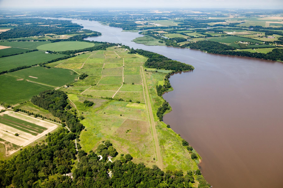
In 2010, the USGS partnered with the U.S. Environmental Protection Agency (EPA) and the U.S. Department of Agriculture (USDA) to monitor water quality in four small (i.e., less than 150 square miles) watersheds: Smith Creek in the Shenandoah Valley of Virginia; the Upper Chester River on Maryland’s Eastern Shore; Conewago Creek near York, Pennsylvania; and Difficult Run near Great Falls Park in Virginia. Representing a wide range of land uses and geologic features, these four regions had been targeted as “showcase projects” for the increased use of BMPs as part of the Chesapeake Bay Executive Order Strategy.
From 2010 through 2013, experts monitored water quality in the four areas, measuring aspects of water chemistry—such as dissolved oxygen, temperature and pH—as well as nutrient and sediment pollution. The results, available in the report, will allow scientists to characterize current conditions, identify sources and sinks of pollution and understand the movement of pollutants like nutrients and sediment in each watershed. Future work building off of these results may improve knowledge of how water quality in these areas responds to BMPs, allowing for the focused implementation of practices to reduce nutrient and sediment pollution.

Comments
There are no comments.
Thank you!
Your comment has been received. Before it can be published, the comment will be reviewed by our team to ensure it adheres with our rules of engagement.
Back to recent stories