Seven land conservation successes that protect Chesapeake culture
The watershed is rich with history, thanks to land conservation
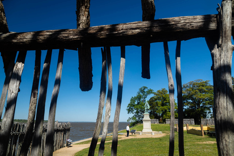
Protecting forests, wetlands, shorelines and other natural spaces from being developed is one of the best ways to keep Chesapeake Bay waters clean. These areas absorb harmful nutrients before they enter the water, mitigate climate change by storing carbon, reduce flooding and provide much needed habitat to wildlife.
But natural spaces can also have cultural value. All throughout the watershed are areas with ancestral, spiritual or historic connections that are significant to communities.
For decades, our partners have permanently protected lands by holding easements, accepting donations and purchasing properties and development rights.This could be done by towns, cities, states or the federal government, or by individuals and nonprofits dedicated to conserving natural resources.
Below are just a few success stories where lands of both environmental and cultural value were permanently conserved.
Fones Cliff
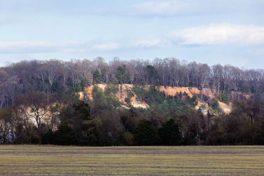
Located along the Rappahannock River in Virginia, Fones Cliff is the ancestral home of the Rappahannock Tribe. Before English settlers arrived, the tribe lived in at least three villages on the Cliffs––Wecuppom, Matchopick and Pissacoack, according to the Chesapeake Conservancy. For years, the Rappahannock Tribe worked to re-acquire this sacred land, and in 2022, they were able to do so. The Chesapeake Conservancy purchased an easement on 465 acres at Fones Cliffs and donated it to the U.S. Fish and Wildlife Service, who then donated the title to the Rappahannock Tribe. Later on that year, The Conservation Fund, who was a key partner in the initial Fones Cliff conservation effort, successfully conserved an additional 964 acres along the Rappahannock River that the Rappahannock Tribe will also play a role in managing.
Bull Run Mountain Preserve
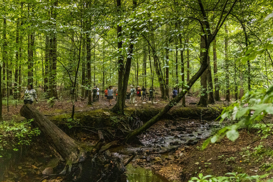
A little outside Washington, D.C., you’ll find a mountain preserve where African American families lived before, during and soon after the Civil War. Owned by the Virginia Outdoors Foundation, the Bull Run Mountains Natural Area Preserve covers nearly 2,500 acres of land across Fauquier and Prince William counties in Virginia, and is home to rare and threatened plants and animals as well as culturally important sites. Historical interpreters working for the Foundation have identified tombstones and traces of homes owned by Black families. One such story is of Hampton Cole, a free Black man who left to fight in the Civil War, and after returning, found that his homestead on the mountain had been stolen.
Rector Tract
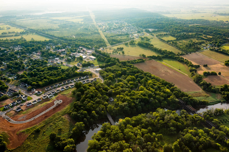
Over a century-and-a-half ago, the Rector Tract in Fauquier County, Virginia was the location of two major Civil War battles. The first battle was inconclusive but the second resulted in a critical victory for the Union Army. Because of its historic significance, the land was acquired by the American Battlefield Trust and donated to Fauquier County. The tract is open to the public and funds were raised by the Piedmont Environmental Council and Friends of the Rappahannock to create a public kayak and canoe launch.
Elktonia Beach
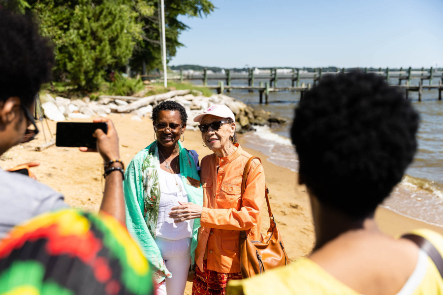
From the 1930’s-1970’s, Carr’s and Sparrow’s Beaches in Annapolis, Maryland, were a beacon of African American culture and music known through the mid-Atlantic region. Famous musicians of the time, from Chuck Berry to Aretha Franklin, performed at the beaches which were open to all visitors during a time of segregation. The land was owned by Fred Carr, an African American man who purchased it in 1902. Over time, the family sold pieces of the high-value property, but the legacy of Carr’s and Sparrow’s Beaches lived on. Then, in 2022, partners including the City of Annapolis, Blacks of the Chesapeake, Chesapeake Conservancy, The Conservation Fund and the state of Maryland came together to preserve the remaining five acres of beachfront and turn it into a public park that commemorates the history.
Underground Railroad
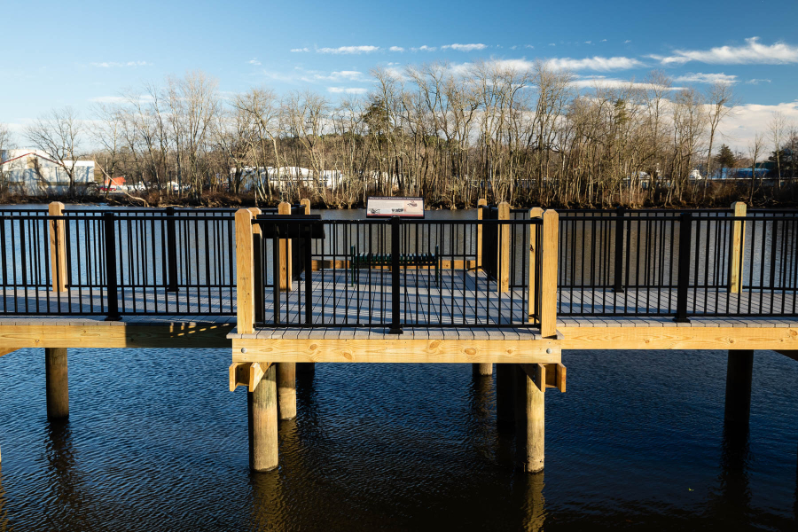
Spanning across the entire Chesapeake Bay watershed, the Underground Railroad was an informal network of routes, safehouses and resources used by enslaved African Americans to journey to their freedom. Numerous historic locations have been preserved since Congress passed the National Underground Railroad Network to Freedom Act in 1998, which aimed to honor, preserve and promote the history of resistance to enslavement. Many of these historic sites are now critical natural areas important to wildlife and water quality, such as the Gateway Park and Riverwalk in Delaware, Harper’s Ferry in West Virginia and Tangier Island in Virginia.
Captain John Smith Chesapeake National Historic Trail
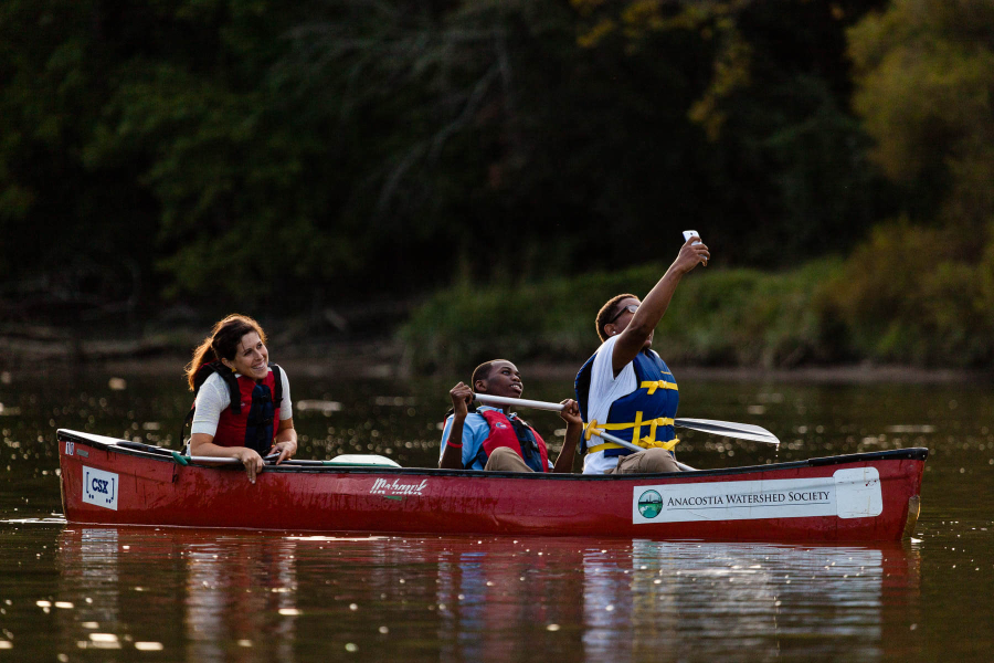
Similar to places conserved along the Underground Railroad, there are also several protected areas that trace the history of those who lived along the Chesapeake Bay thousands of years before and up to the arrival of Captain John Smith. This includes Indigenous sites like Werowocomoco, colonial sites like Historic Jamestown and recreational hotspots like the Anacostia Water Trail. Because of their fascinating history, these sites are a major tourist draw, which means preserving them provides a strong economic value to their surrounding communities.
Shenks Ferry Wildflower Preserve
Located in Lancaster County, Pennsylvania, the Shenks Ferry Wildflower Preserve is rich with history of those living and working along the Susquehanna River. The Preserve is named after the Shenks Ferry people, an Algonquin-speaking group whose stone carvings (known as “petroglyphs”) you can still view. A Native American village formerly located within the preserve is now a registered on the National Register of Historic Places. Also in the preserve are remnants of mills, railroads and other 19th century European industries, some of which can be viewed through a hiking trial. In 1906, a tragic accident occurred when a dynamite factory exploded, killing 11 men whose graves are now located at a nearby church. Beyond its history, the over 90-acre preserve is one of the most impressive wildflower sanctuaries in the eastern United States. Conservation of this property was coordinated by the Lancaster Conservancy and other state, federal and private partners.
The future of land protection
At the Chesapeake Bay Program, we have a Protected Lands Outcome that aims to conserve landscapes just like these. According to data collected through early 2019, we’ve permanently protected nearly 1.36 million acres of land in the Chesapeake Bay watershed since 2010, marking an achievement of 68% of the protected lands outcome.
Know of another conserved space with rich cultural or historic value? Let us know in the comments!

Comments
There are no comments.
Thank you!
Your comment has been received. Before it can be published, the comment will be reviewed by our team to ensure it adheres with our rules of engagement.
Back to recent stories