Maps
Browse through maps depicting Bay health and restoration, including pollution trends, public access sites and more.
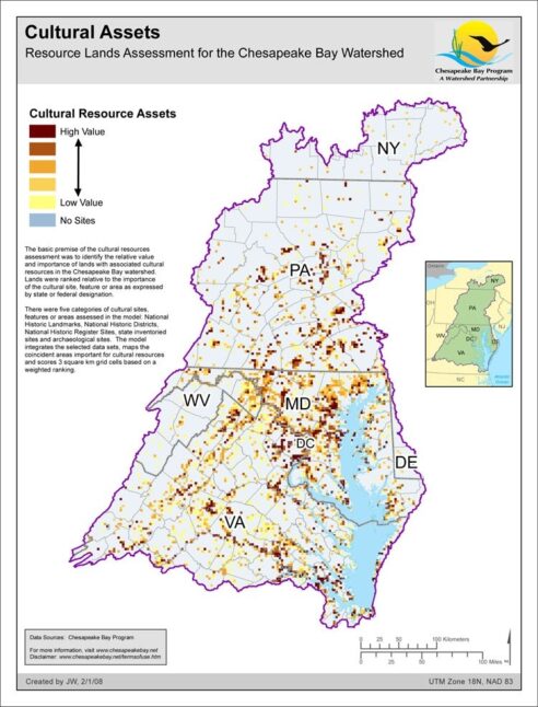
Cultural Assets - Resource Lands Assessment
Date created: February 1, 2008The basic premise of the cultural resources assessment was to identify the relative value and importance of lands with associated cultural resources in the Chesapeake Bay watershed. Lands were ranked relative to the importance of the cultural site, feature or area as expressed by state or federal designation. There were five categories of cultural sites, features or areas assessed in the model: National Historic Landmarks, National Historic Districts, National Historic Register Sites, state inventoried sites and archaeological sites. The model integrates the selected data sets, maps the coincident areas important for cultural resources and scores 3 square km grid cells based on a weighted ranking.
View map
