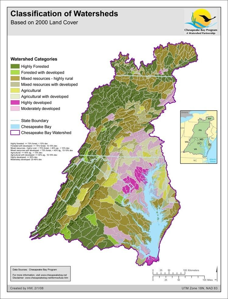
Classification of Watersheds - Based on 2000 Land cover

- Author:
- Howard Weinberg
- Date Created:
- February 1, 2008
This map separates small watersheds of the Chesapeake Bay basin into eight classes based on the percentages of forest, agriculture and developed land covers from year 2000 satellite data within those watersheds. A similar map was published in the State of the Chesapeake Forests report.
