Maps
Browse through maps depicting Bay health and restoration, including pollution trends, public access sites and more.
Population (2014)
Date created: April 27, 2015This map shows population estimates within the Chesapeake Bay watershed on a county-by-county basis for the year 2014. For counties not completely within the Chesapeake Bay watershed, the population numbers were derived as a proportion of the total county based on land area.
View mapPopulation (2010)
Date created: August 5, 2011This map shows population estimates within the Chesapeake Bay watershed on a county-by-county basis for the year 2010. These are actual Census Bureau population figures provided after the last decennial census (2010). However, for counties not completely within the Chesapeake Bay watershed, the population numbers were derived as a proportion of the total county based on land area.
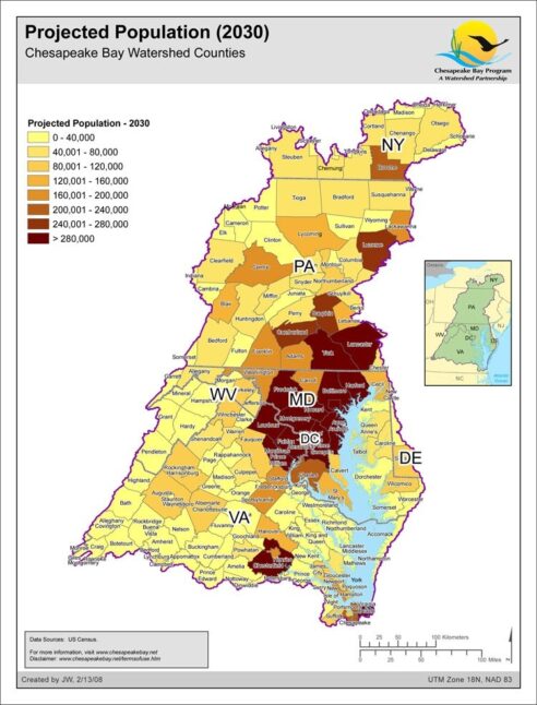
View mapProjected Population (2030)
Date created: February 13, 2008Population projections were produced by the Population Division of the U.S. Census Bureau. The projections were produced for the years 2001 to 2030, based on Census 2000 results, and the general assumption that recent state-specific trends in fertility, mortality, domestic migration, and international migration will continue.
View map
