Maps
Browse through maps depicting Bay health and restoration, including pollution trends, public access sites and more.
Protected Lands 2011
Date created: November 15, 2012This map represents a complete, aggregated layer of protected lands in the Chesapeake Bay Watershed and intersecting Counties as of 2011. It is a combination of multiple State, Federal and Non-Governmental Organization sources. Overlapping and duplicate areas have be deleted to address double counting.
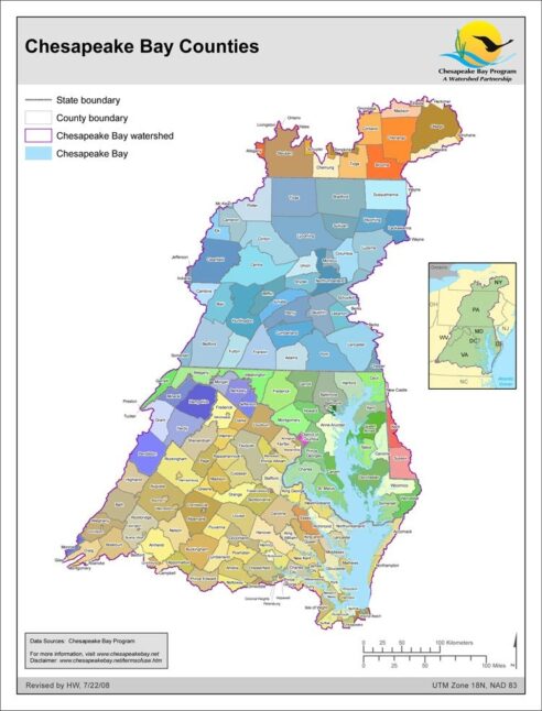
View mapChesapeake Bay Counties
Date created: July 22, 2008A map showing the counties (and sometimes municipalities) that are entirely or partially within the Chesapeake Bay basin.
View map
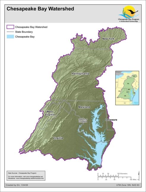
Chesapeake Bay Watershed
Date created: January 29, 2008Outline of the Chesapeake Bay watershed with elevation relief.
View map
