Maps
Browse through maps depicting Bay health and restoration, including pollution trends, public access sites and more.
Phase 4.3 Model Segmentation, Chesapeake Bay Watershed Model
Date created: April 28, 2008This map shows the Phase 4.3 Watershed Model Segmentation. The current Model Segmentation (as of July 2011) is Phase 5.3.
View map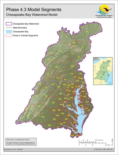
Phase 3.0 Model Segmentation, Chesapeake Bay Watershed Model
Date created: April 28, 2008This map shows the historic Phase 3.0 Watershed Model Segmentation. The current version (as of July 2011) is Phase 5.3.
View map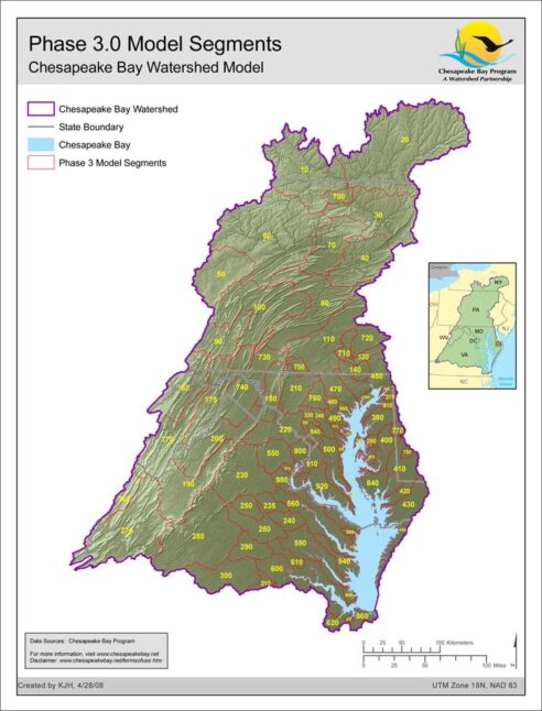
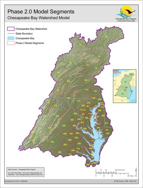
Phase 2.0 Model Segmentation, Chesapeake Bay Watershed Model
Date created: April 28, 2008This map shows the historic Phase 2.0 Watershed Model Segmentation. The current version (as of July 2011) is Phase 5.3.
View map